If you ever find yourself in Cusco, Peru, it is worth the money and the time to find a traveling company that will provide services to get to Vinicunca.
Although there are a couple “rainbow mountains” around the world, Perú holds the title for the highest peak. Sitting at 5,200 KM (that’s 17,100 ft!) above sea level, Vinicunca, also known to world travelers as Rainbow Mountain, attracts people from all over the world every day to take on the challenging altitude hike that leaves everyone breathless.
It wasn’t until about 10 years ago that Rainbow Mountain was even discovered. Due to the warming earth, the snow that once covered the mountain melted off, revealing to the native farmers the colors for the first time. Then along comes some Americans who were hiking another mountain nearby and saw that colorful mountains ahead. Pictures were snapped and then released onto the internet. Soon, people from all over the world were flying into Cusco asking how to get to Rainbow Mountain, yet none of the people in Cusco knew about the mountains. Fast forward a couple of years later, when the trek three hours outside of Cusco, to reach the colorful hills started. It was not even until just two years ago that the native farmers built a better driveway to the base of the 7KM hike.

The tour company that we found was just right around the corner from the hostel we stayed at in Cusco. There are traveling companies that liter the streets, so finding a one that is affordable for you is easy. For a three hour drive there and back, and breakfast and lunch included, I paid a fee of s/100 (one hundred soles, about $35 in USD).
The company picked me up at 4:45am and spent about another half hour picking up others around the city. In all, there were about 15-20 people on this trek.
The bus ride to our breakfast spot about two hours outside of town was pretty quiet. I was too excited with anticipation about seeing this newer wonder that it was hard for me to sleep. We passed through a few small towns, which is always interesting in different countries. Small shops were set up where locals would flag down drivers, trying to tempt them with their fresh bread for breakfast. Dogs run free in Peru, so watching them run around in packs, or even hunting for scraps alone, makes for a great narrative in my mind. Oh, to be a dog in Peru.
Breakfast was held at this lone standing shop. From the outside it looked slightly abandoned, but once inside, it was set up nicely. I didn’t want to eat too much because I knew that we were going to be going high up in elevation, and I wasn’t completely sure how my body would handle being super full. Soup for breakfast it was. And it was delicious.
Once back in the bus the guide explained that we were about an hour away from the start of the hike. However, in that short amount of time, we would be rising in elevation by about 3,000 ft. At first I was a little nervous, because I had never been higher than 11,000, and suddenly I was going to be driven up to 14,000 feet in a bus.
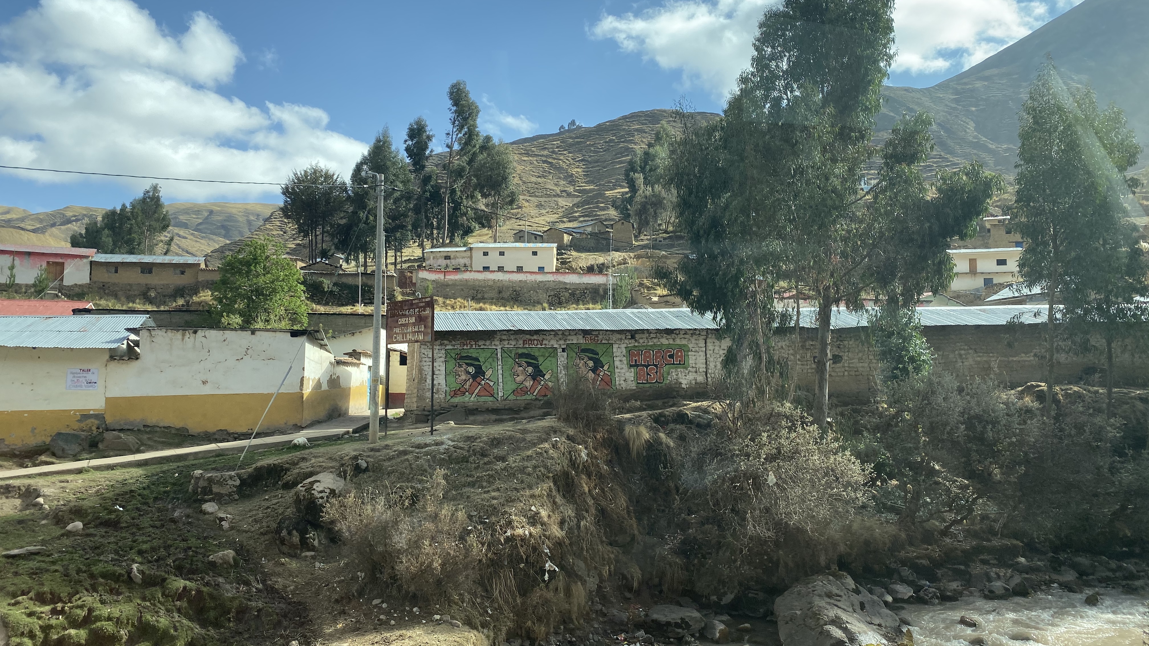
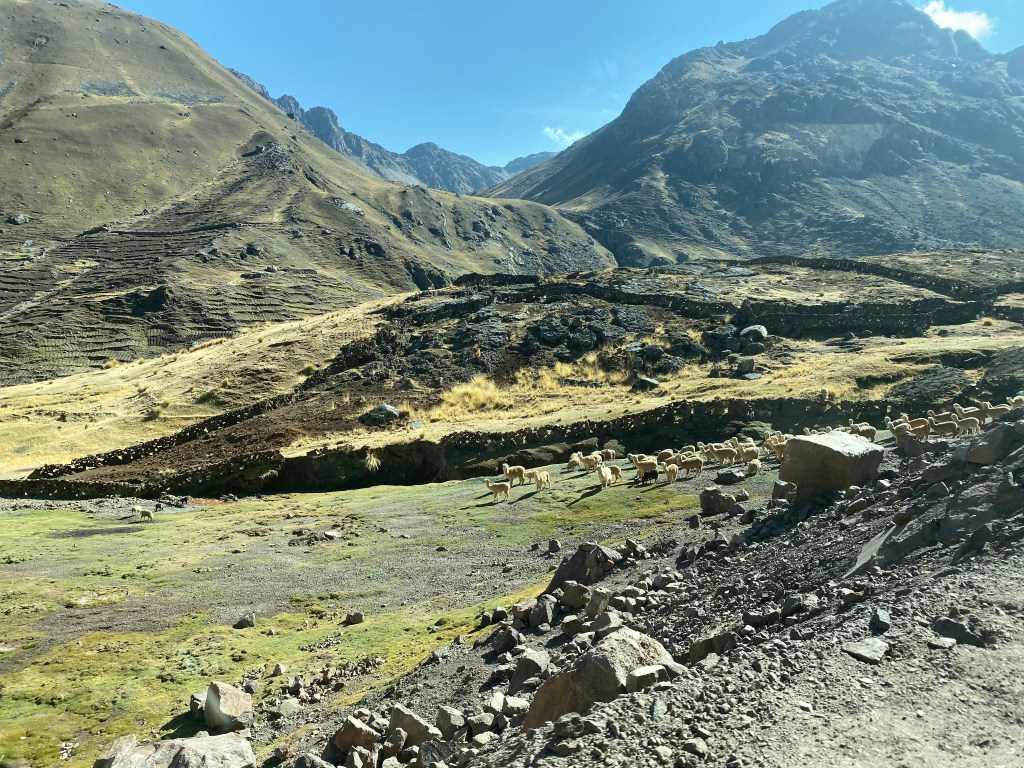
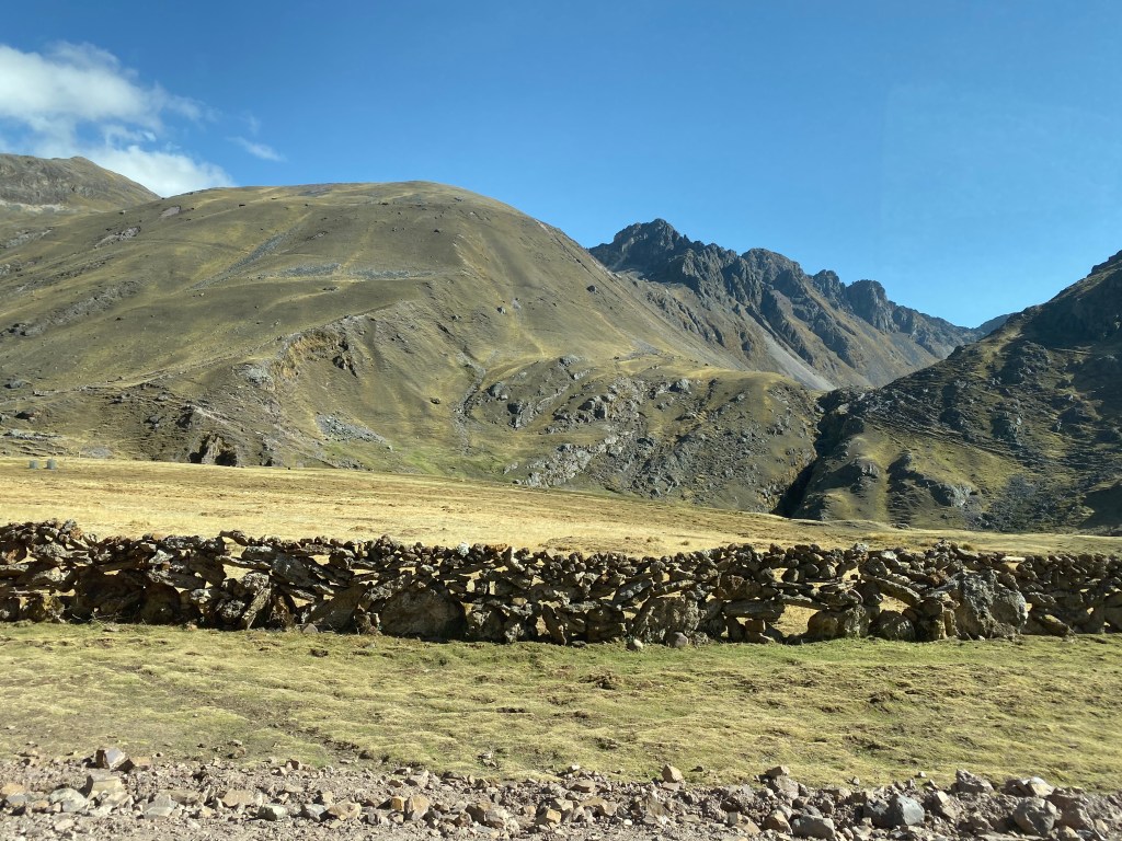
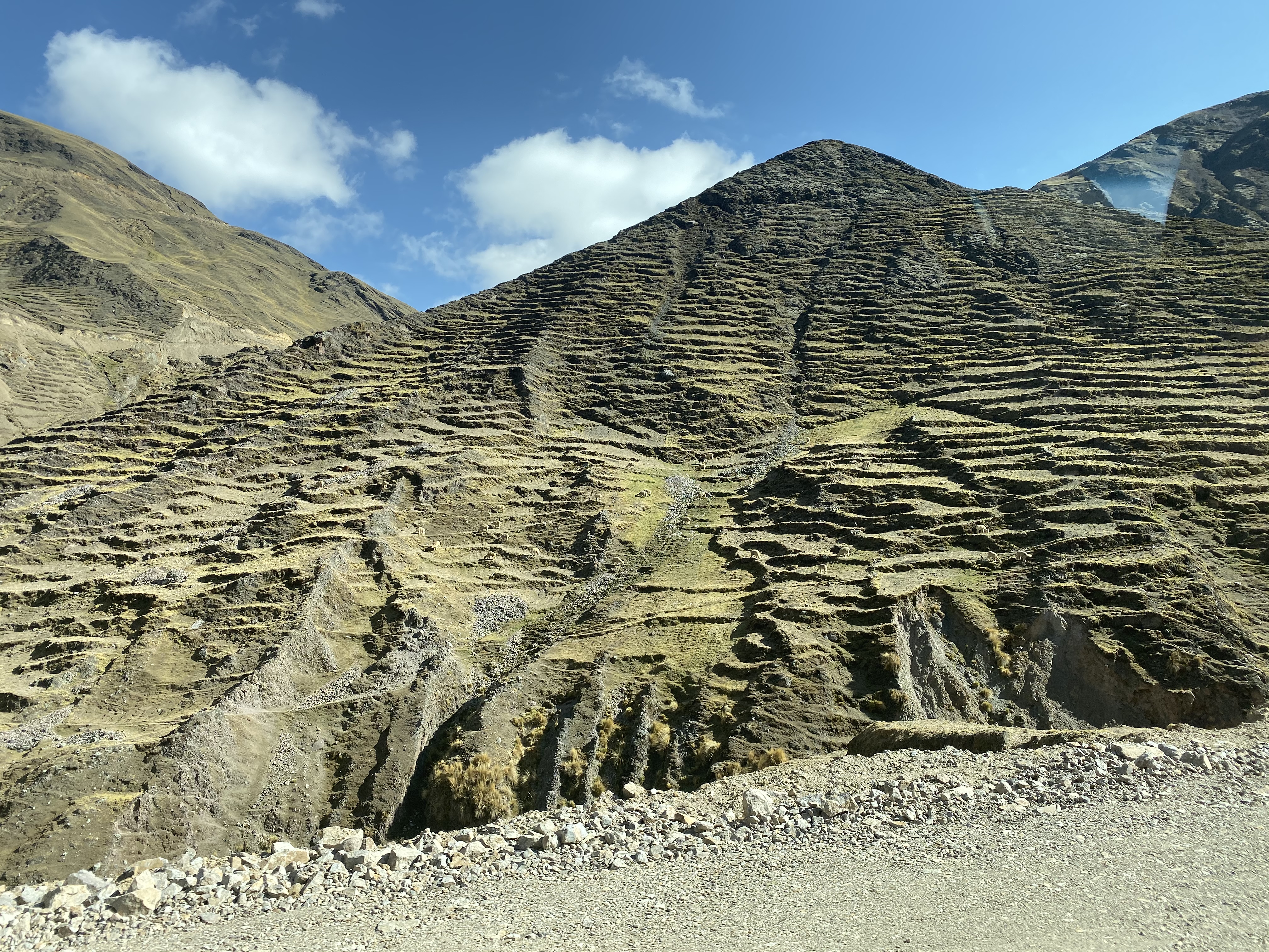
The steep drive up was on a dirt road. I was absolutely fascinated with the villages that we passed on the way up. You could see off in the distance farm land that was fenced off with hand built rock walls that gated in llamas and cattle. There were even schools in about every other village. The idea of such a simple life made me smile.
After climbing for about an hour, we made it to the starting point. I was amazed at how many busses and people were already there. Our guide gave us a strict timeline on when we needed to reach the top by and when we needed to be back at the bus in order to leave on time. He gave us all some magic essential oil to rub in our hands and smell that would help with any altitude sickness for the journey ahead. I have no idea what was in that bottle, but it was certainly magic, indeed.
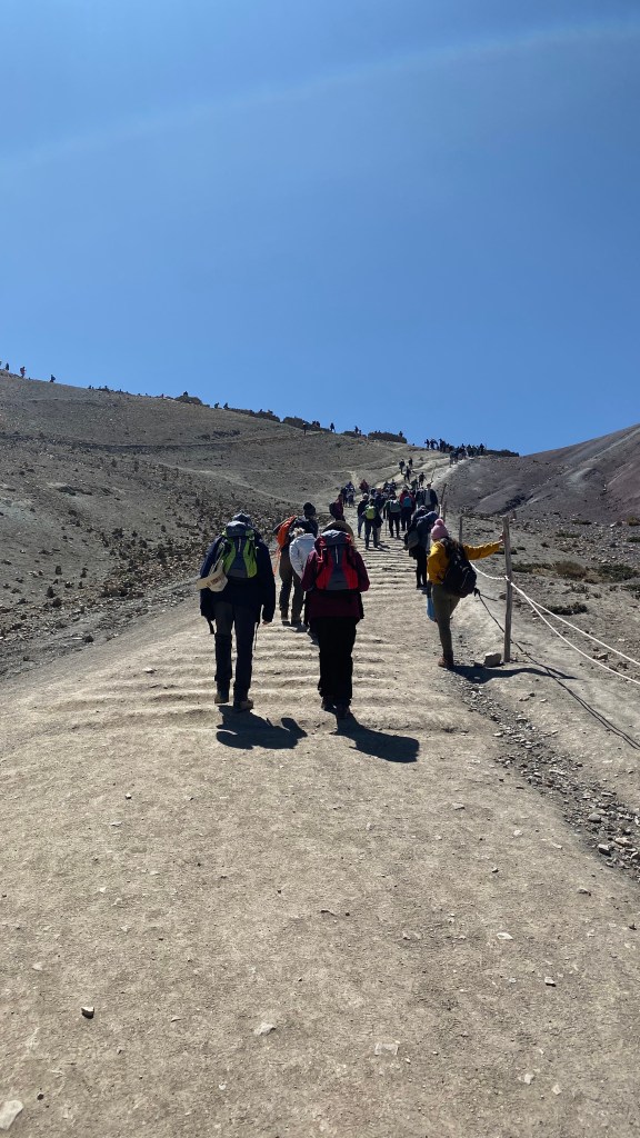
I got started at about 8:40am. The start of the trek is a series of what the locals call Peruvian flats. This just means that the path is a series of hills. Normally this wouldn’t phase the average hiker, however these hills seemed more challenging due to the altitude.
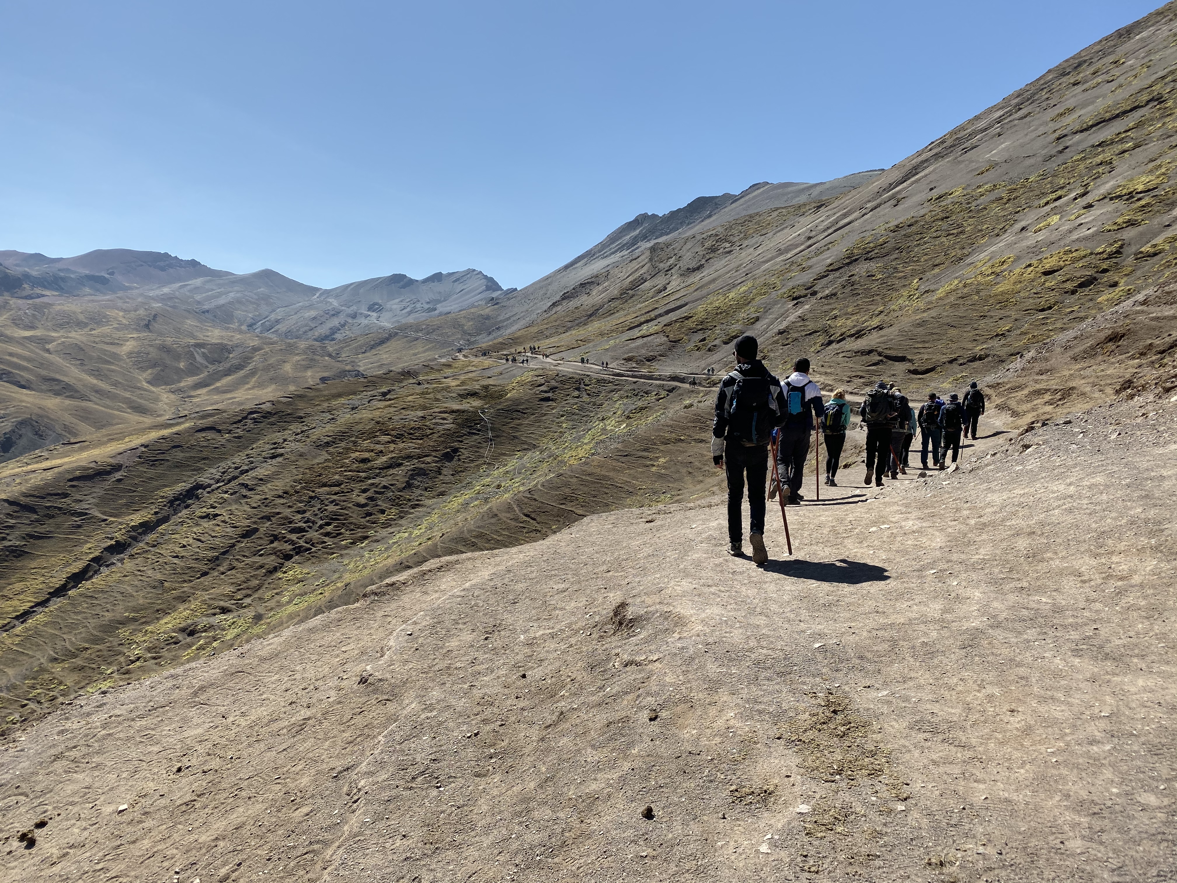
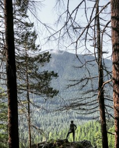
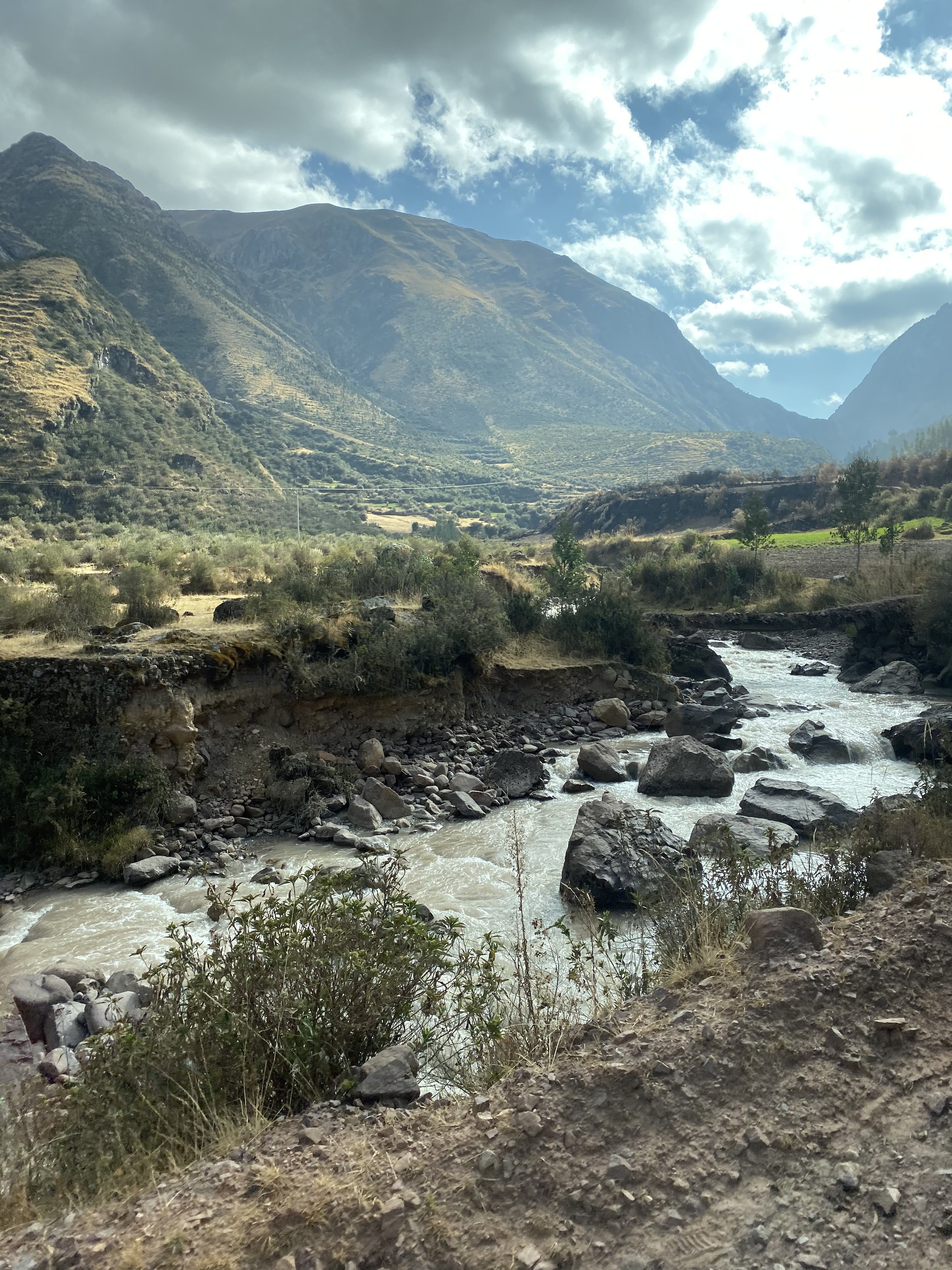
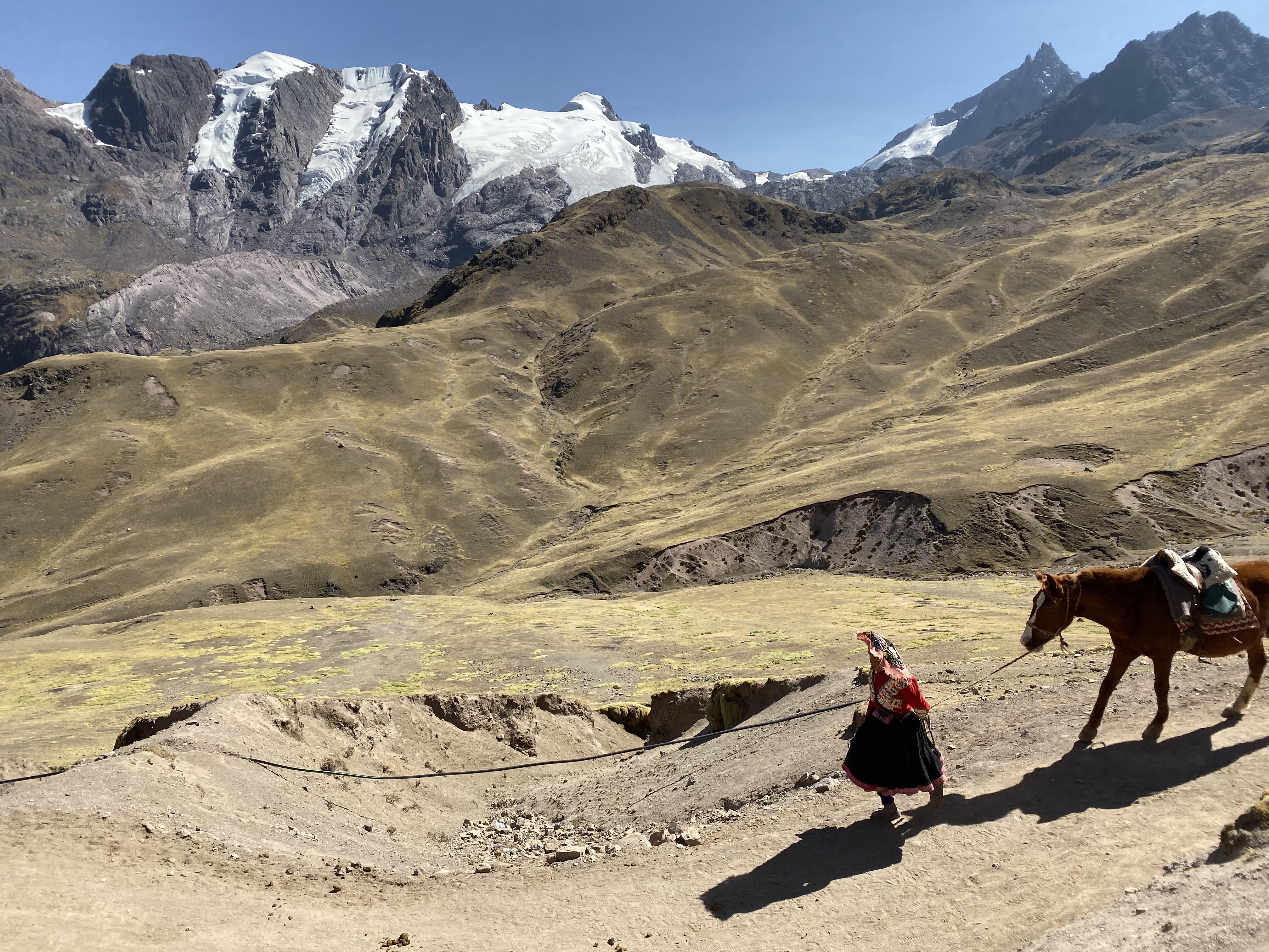
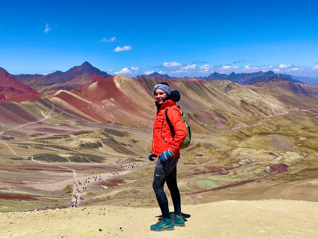
The first couple of miles were rather peaceful. Even though the trail was heavily trafficked, I was able to focus on controlling my breathing and taking in the ridiculous view of the incredible mountain range around me. Off to the left, tucked behind other mountains is a taller glacier mountain. It’s from this glacier the small villages throughout the mountain range collect their water from the river that runs off of it.
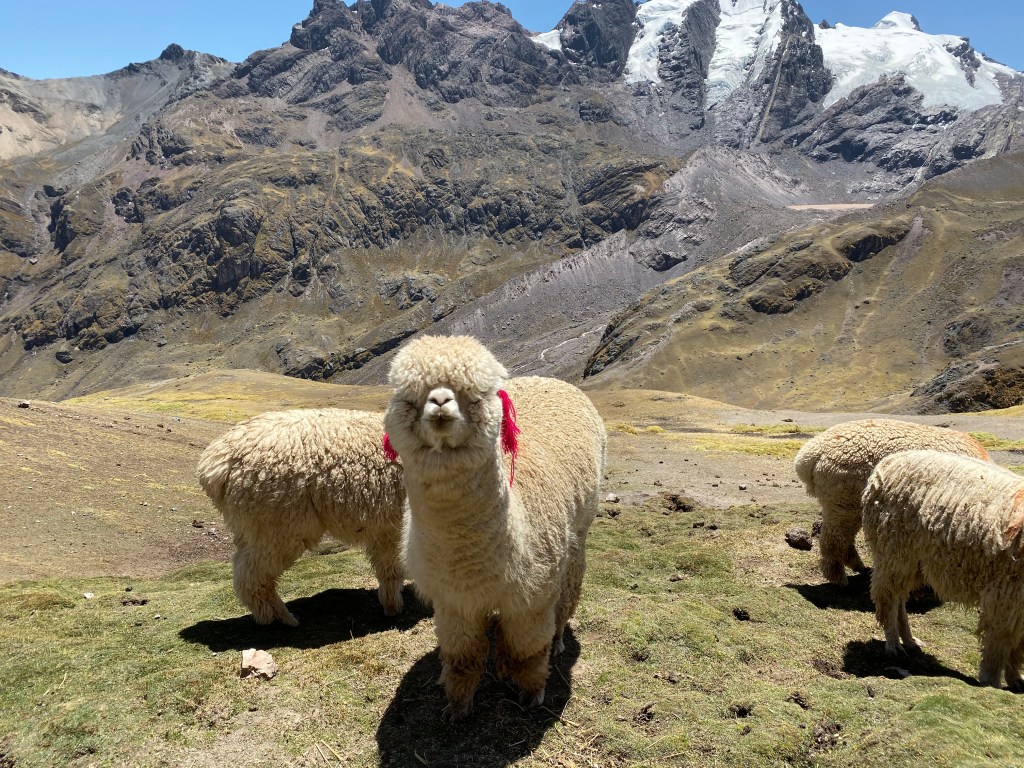
When I wasn’t distracted by the mountain range, I watched as some of the locals guided horses with tourists on the back, up the mountain. It was beyond amazing to see these people operate so effortlessly up the mountain, not to mention doing it in sandals! Their hustle kept me motivated.
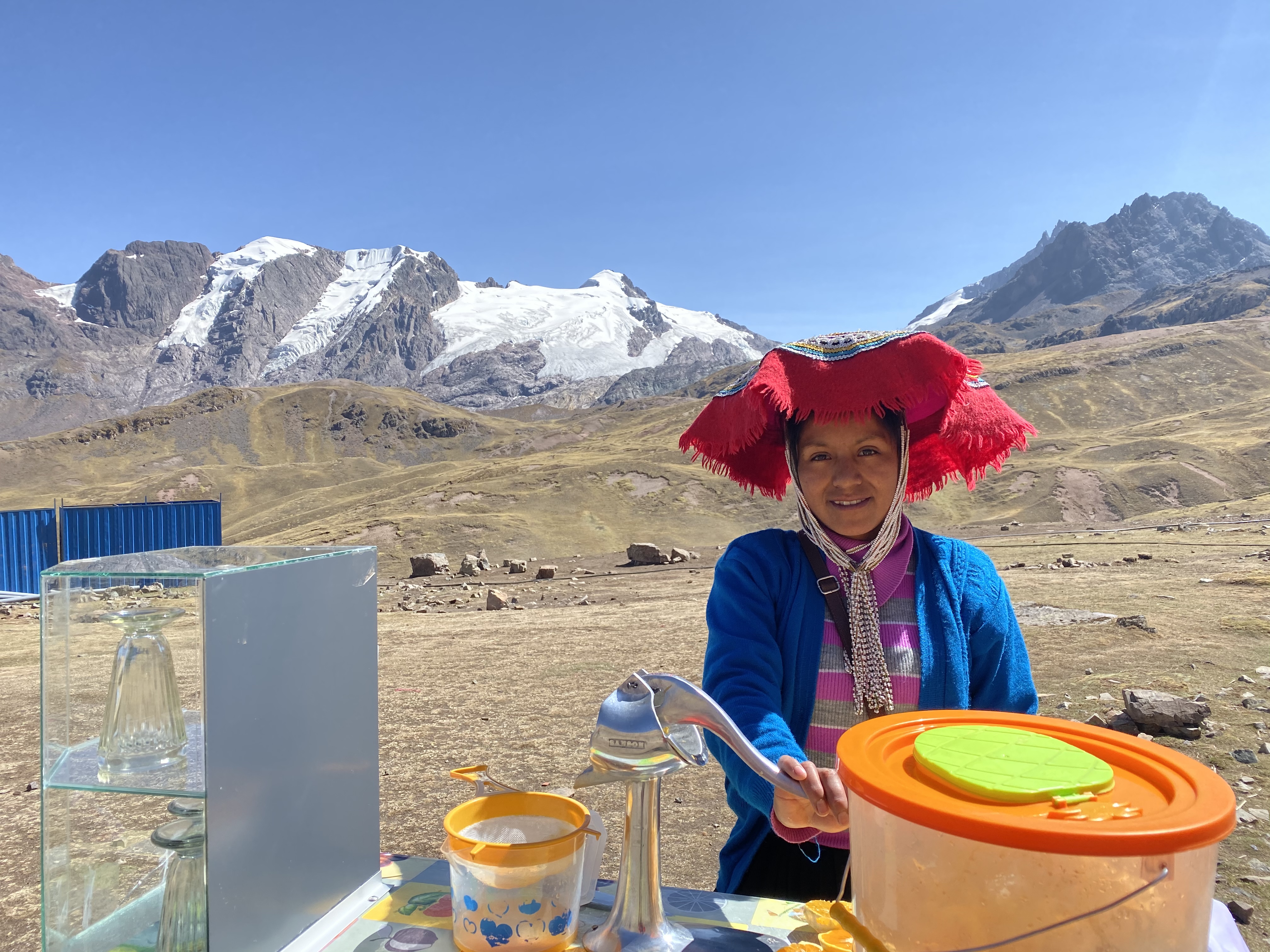
Between the start and top, there are two bathroom spots, as well as options to purchase snacks and water. The bathrooms cost s/1 so be sure to bring some extra money.
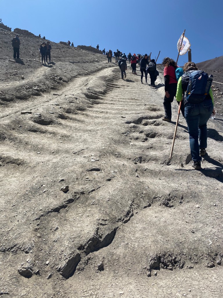
Once I started feeling good about my pace and breathing, the trail drastically inclines almost right after the second bathroom stop. The last mile is not only steep, but tough to get a solid grip on. There are man made rivets in the dirt that are supposed to help, but I felt hindered the climb. To the right, there is a small rope to hold onto just in case your shoes are working against you.
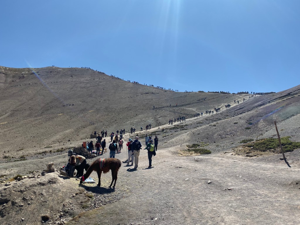
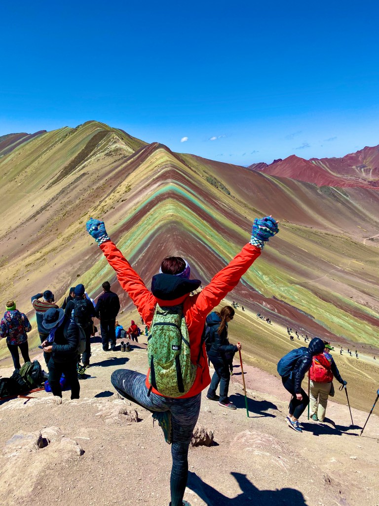
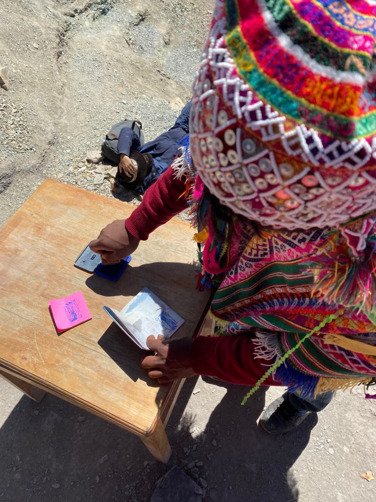
In all, it took me about an hour-twenty to reach the first peak. The area was pretty crowded, but I did not feel like it took away from the view. There are more snack and drink options in this area. Also, if you bring your passport, you can get it stamped at the top for s/2.
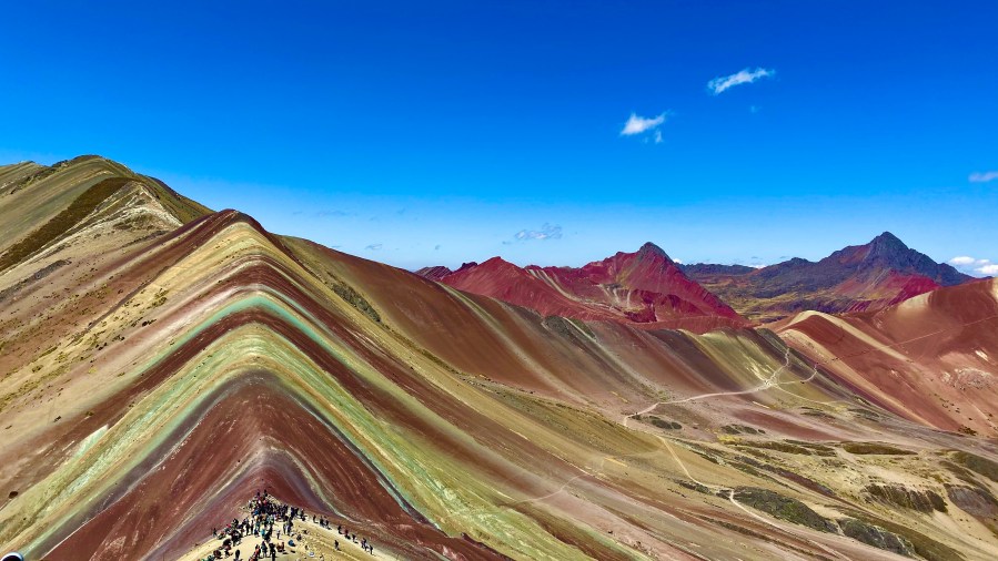
From this view, the Rainbow Mountain comes to life. Reds, greens, whites, and browns all harmoniously blend together to paint a real life masterpiece. Each of these colors are made up of different minerals: The strong representation of red is from iron, the contrasting green is magnesium, the white is a mixture of calcium and quarts, and the brown is earth and clay. Mother Nature perfected her craft painting Vinicunca for the world to gawk at.
You have the option to stop there, or if you’re feeling courageous, there is a higher peak just up to the left. The guide warned us that we shouldn’t spend more than 30 minutes up at the Once I got my wits about me, I pulled myself together and charged uphill for another 10 minutes.
When I reached the top, breathing that hard made me feel more alive than ever before. Excluding Alaska, there isn’t a higher peak in elevation than where I was standing in that moment. I stayed up there for as long as I felt I could handle it. All around me was the most mesmerizing mountain range I had ever seen first hand. I would have stayed up there forever if my body would have permitted it.
