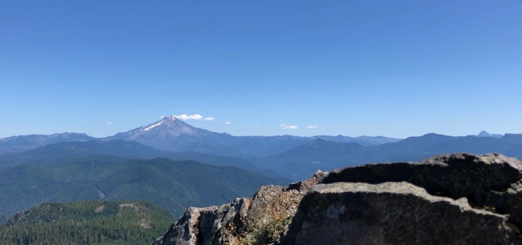
In need of a true leg burner? This hike might be straight uphill for five and a half miles, but the view from the top is beyond worth every ache and pain.

If this view looks like a bucket-lister, head over to Detroit, Oregon. I have passed through this town many times over the course of the last few months and I had never noticed the parking lot for this trailhead. Google maps takes you to a different place, so I suggest going through the AllTrails app and getting the directions there.
If heading East on HWY 22, there is a small bridge that passes over Tumble Creek. Once over this bridge, there is a small parking lot, for up to seven cars, located on the left.
This is one of the few hikes that does not require a parking fee.
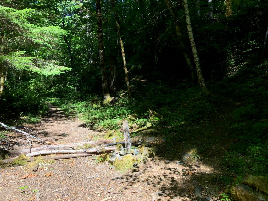
Off to the left of the parking lot, there is a road that is cut off by a gate with a NO PARKING sign; this is where the trailhead begins. The start of the path is not very well maintained and is a mix between rock and grassy patches. To the left of the path is Tumble Creek.
After walking for about .36 miles, the path forks. It appears there used to be a sign here to instruct people to head to the right, but instead there is a makeshift block in the path with rocks and sticks.
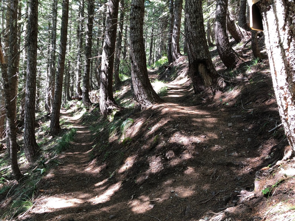
From this moment forward, the trail is at a steady, at some points steep, incline. The trail remains underneath a canopy of trees the whole way which keeps the temperature low and keeps you from overheating the whole time.
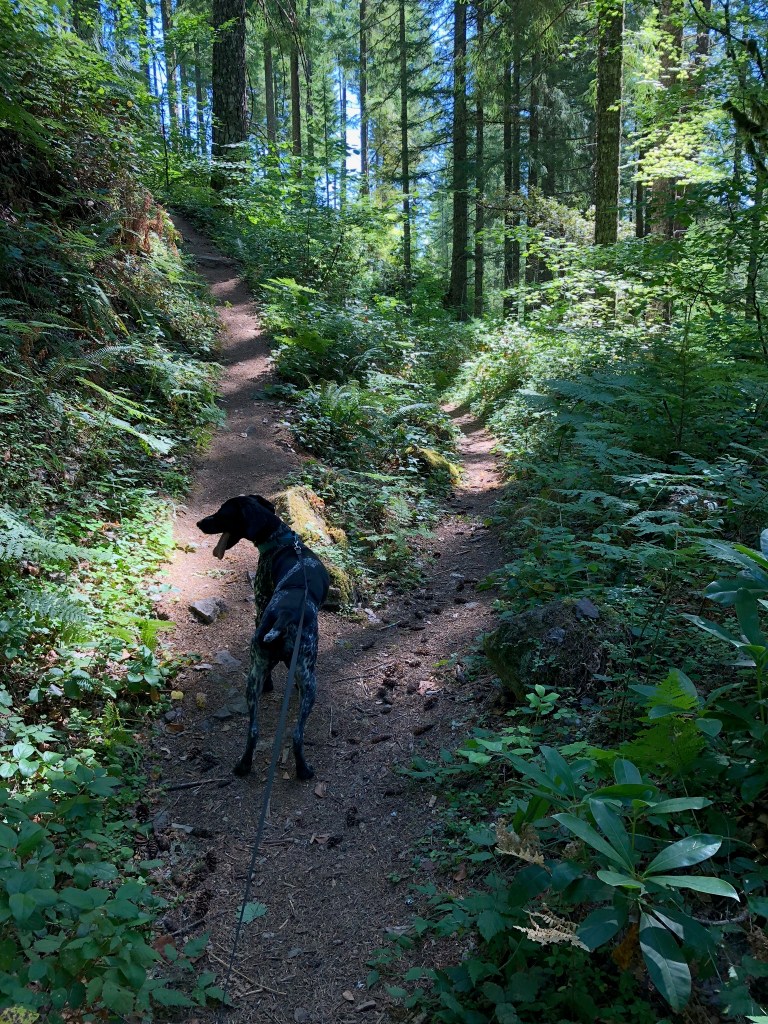
After a couple switchbacks, the path splits; up to the left or straight to the right. Since the mission is to the top, up and to the left it is.
After huffing it and begging for a some relief for my legs, the trail levels out around mile 2.4. However, don’t get used to it because it quickly adjusts to an inclined rocky bit. The loose gravel doesn’t last very long and returns to the normal dirt path.
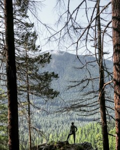
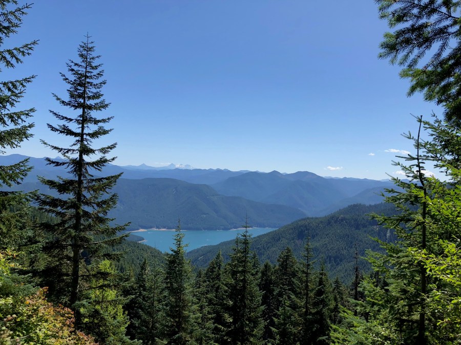
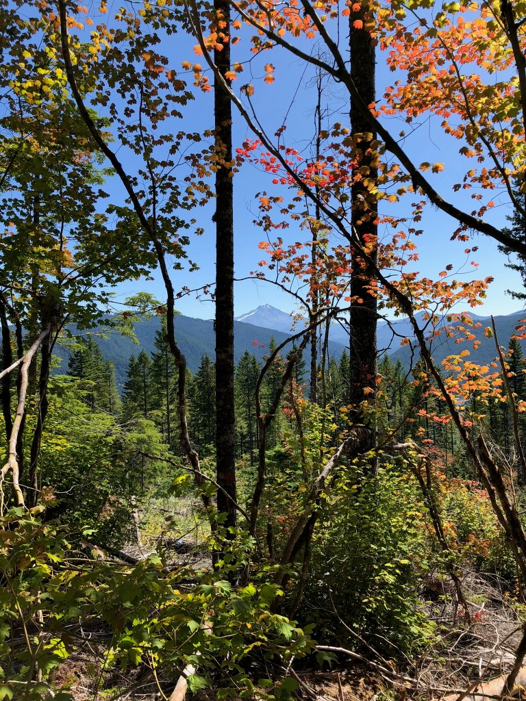
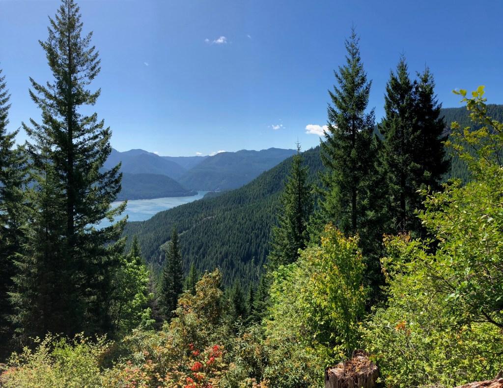
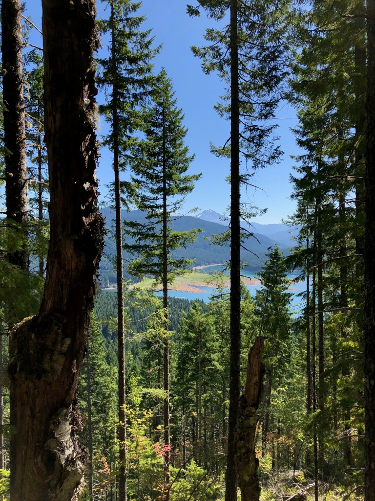
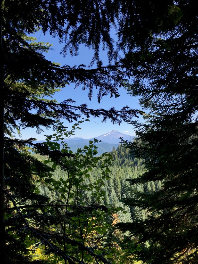
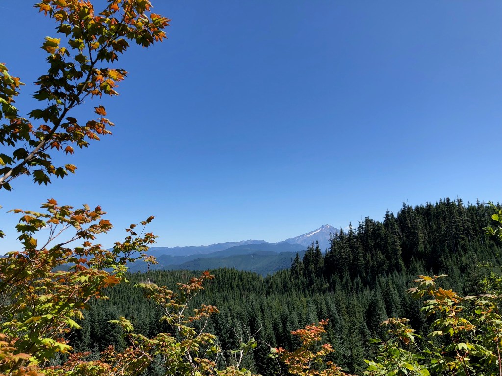
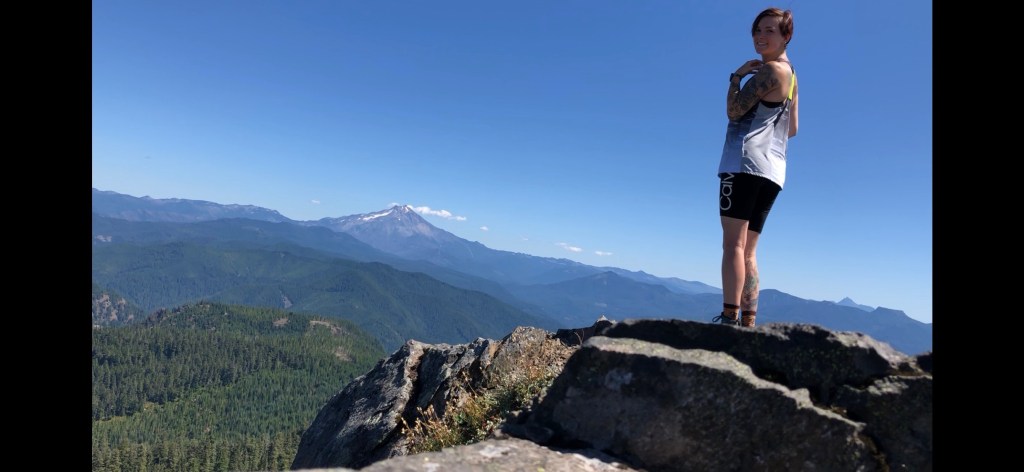
Once in a while the trees break up along the path and makes for some great views of Mt. Jefferson and Detroit Lake. The weather was perfect the day I hiked this, which made seeing these view that much better.
Up until this point, the trail is pretty well maintained. However, around mile 3.6 the path is extremely overgrown. The path completely disappears under the wildflower bushes. Keep straight through these and it eventually returns to normal. This area does have a couple rocks on the path so proceed with caution.

This part of the hike is pretty. The hovering trees start thinning out, allowing for more views of the lake and mountains all around. I love being beneath massive trees, but the excitement for approaching the top starts rising when I start seeing more blue than green.
Coming upon almost exactly mile 5, there is another fork in the road. One continues straight and the other goes up and to the right. Keep to the right for the peak, or keep straight to go to a hidden lake.
Expect the next half mile to be steep, steep, steep. But just keep in mind that the view is worth all the burn, sweat and approaching tears from exhaustion.
I am not that fastest hiker in the world, so it took me about three hours to reach the peak at 5.6 miles. Be mindful that while the AllTrails app says that this hike is only 8.6 miles out and back, my AppleWatch calculated closer to 11.6 total.
This trail is shockingly not overpopulated. I was pleasantly surprised that I only passed a couple people the whole hike, and had the whole top to myself. For a weekend day, I thought that the trail would have been busier.
I highly suggest adding this peak to your list of MUST-HIKE if you’re up for the challenge.
